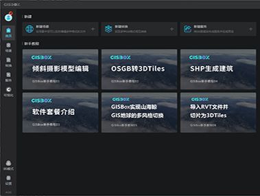

Lightweight & All-in-One GIS Platform
An integrated client-server application. Double-click to install and toggle BS mode with one click.


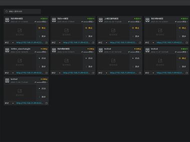
Built-in GIS Server, Completely Free
GIS server offers fully free access to all its features; it is powerful yet easy to use, and supports all types of OGC standards.


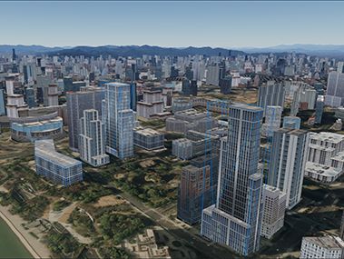
Powerful 3D Processing Capabilities
Real-time editing of 3D scenes like OSGB and terrain; generate 3D city models with one click.

 Service


 PostGIS
 Oracle Spatial


